

Recent Posts
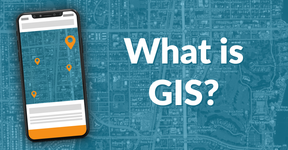
What is a geographic information (GIS) system?
A geographic information system (GIS) is a system for creating, managing, analyzing, and mapping various types of data. GIS ties data to a map by combining location data (where things are) with several forms of descriptive data (what things are like there). This lays the groundwork for mapping and analysis employed in science and nearly every sector. Users can utilize GIS to better comprehend trends, relationships, and the context of their location. Improved communication and efficiency, as well as better management and decision-making, are all advantages.